Bauchi is one of the states located in Nigeria’s North-East geopolitical zone. It is bordered to the north by Kano and Jigawa; south by Taraba and Plateau; east by Gombe and Yobe; and west by Kaduna. Its name comes from the ancient town of Bauchi, which now serves as the nation’s capital.
In 1976, the previous North-Eastern state was divided up, and Bauchi State was created in the same year. Meanwhile, it initially covered what is now known as Gombe State, which was given its own statehood in 1996.
According to the 2006 census, Bauchi State’s population was around 5 million. Since it was founded, it has undergone a great deal of change. It was a part of the Bauchi-Plateau of the former Northern Region during the colonial era and until Nigeria gained its independence when the Bauchi, Borno, and Adamawa provinces created the former North-Eastern State.
According to research, Bauchi state is estimated to be the fifth largest in area and seventh most populous state in Nigeria, which is inhabited mostly by some ethnic groups such as Bolewa, Butawa, and Warji in the central region; the Fulani, Kanuri, and Karai-Karai in the north; the Fulani and Gerawa in and around the city of Bauchi; the Zaar (Sayawa) in the south; the Tangale in the southeast; and the Jarawa in the southwest.
In this piece, Naijabiography narrates the history of Bauchi State, including the culture, trades, and lifestyle of the Bauchi people.
History
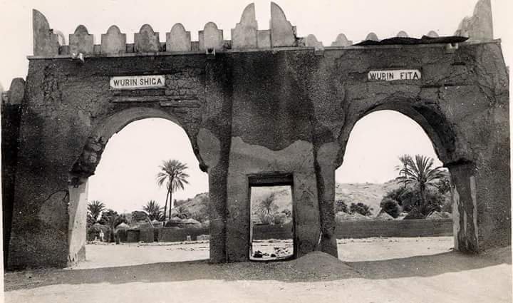
Up until 1976, the region that is now known as Bauchi was a province in Nigeria’s then-North-Eastern State. Early in the nineteenth century, the Sokoto Caliphate’s Bauchi Emirate was created after the Fulani jihad took much of what is now the modern-day Bauchi State.
About 90 years later, a British expedition invaded the Emirate and included it as Bauchi Province in the Northern Nigeria Protectorate. British Nigeria ultimately combined with this entity to form what is now known as Nigeria, which gained independence in 1960.
Following the Jihad war, the Bauchi High Plains, a thinly forested savanna region primarily populated by non-Muslim peoples, was subdued by Yakubu, one of Usman Dan Fodio’s commanders. He then established the town of Bauchi (1809) following victorious operations.
Therefore, under the authority of his son and successor, Emir Ibrahim ibn Yakubu, several of the subject peoples were able to effectively revolt. When the British captured the town in 1902 and overthrew the Emir Umaru, Bauchi once more served as the emirate’s administrative centre. Emir Usman transferred the capital from Rauta (35 miles northwest) to Rauta in 1877.
Thus, the town was the seat of the provincial government twice, from 1917 to 1924 and from 1904 to 1911. It was named the administrative centre of Bauchi Province in 1926 and the capital of the recently established Bauchi State in 1976.
Until 1967, when the Northern Region was divided and the area became a part of the North-Eastern State, the present-day Bauchi State was originally a part of the post-independence Northern Region. Bauchi State and 10 other states were created on February 3rd, 1976, following the division of the North-Eastern State. A number of LGAs in the state’s western region were split off twenty years after statehood to create the new Gombe State.
Meanwhile, history has it that Bauchi State was a part of the Bauchi Plateau of the former Northern Region during the colonial era and until independence, when the Bauchi, Borno, and Adamawa provinces created the former North-Eastern State.
When Bauchi State was established in 1976, it contained 16 local government units and the current states of Bauchi and Gombe. In the former Bauchi State, there are now 23 local government areas, up from the previous 20. However, once Gombe State separated from Bauchi and new local governments were established nationwide in 1997, Bauchi State was left with 20 local government areas.
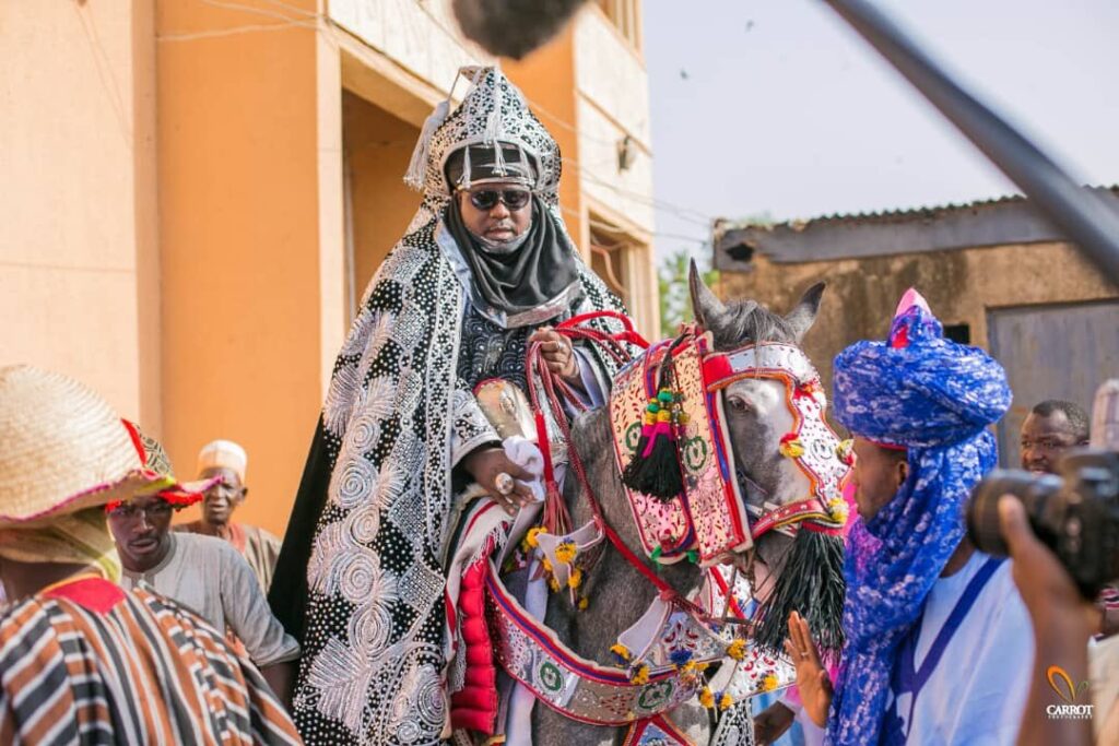
Sharia Law was created and adopted in June 2001 after the creation of the two states (Bauchi and Gombe). However, over the years, Bauchi State has undergone significant development. In Bauchi State, the Ajawa language was used, but between 1920 and 1940, Hausa took its place as the primary language of instruction.
Territory
According to research, Bauchi State is in between the West Sudanian savanna in the south and the drier, semi-desert Sahelian savanna in the north. In addition, this division is separated by a small part of the montane Jos Plateau in the southwest.
Furthermore, research reveals that Yankari National Park, a sizable wildlife park in southern Bauchi State that is home to sizable populations of waterbuck, African buffalo, patas monkeys, hippopotamuses, roan antelope, and western hartebeest, as well as some of Nigeria’s last remaining West African lion, African leopard, and African bush elephant populations, is a key feature of the state’s landscape.
According to history, the territory of Bauchi State comprises Kano and Jigawa to the north, Taraba and Plateau to the south, Gombe and Yobe to the east, and Kaduna to the west are the seven states that border the state. However, one of the states in northern Nigeria, Bauchi state, spans the Sudan savannah and the Sahel savannah, which are two separate vegetation zones. However, the flora is generally less uniform and the grasses are shorter than what grows even further south, that is, in the forest zone of the middle belt. Here, the vegetation gets richer and richer towards the south, especially beside water sources or rivers.
As one proceeds from the state’s south to its north, the Sahel type of savannah, commonly referred to as semi-desert flora, becomes visible from the middle of the state. This kind of vegetation consists of solitary patches of prickly plants. While the northern portion of the state is typically sandy, the southern portion of the state is mountainous due to the continuance of the Jos Plateau.
The Jama’are River passes across a number of Local Government Areas in the northern section of the state, while the Gongola River traverses Bauchi State in Tafawa Balewa Local Government Area in the south and Kirfi and Alkaleri Local Government Areas in the state’s eastern region.
Additionally, Bauchi State contains a sizable portion of the Hadeja-Jama’are River basin, which together with the state’s diverse fadama (floodplain) regions offers appropriate territory for agricultural activity. The quantity of dams used for irrigation and other purposes provides additional support for them. These include the Tilde-Fulani and Gubi dams. Additionally, lakes like the Maladumba Lake in the Misau Local Government Area provide essential conditions for agriculture.
People and Culture
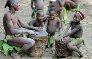
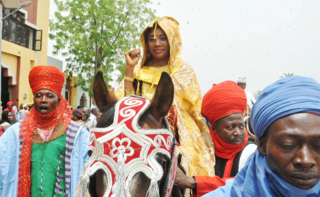
With an estimated population of more than 6,530,000 as of 2016, Bauchi is the 36th most populous and fifth-largest state in terms of area. There are 55 distinct tribal tribes in Bauchi State, including the Gerawa, Sayawa, Jarawa, Kirfawa, Turawa Bolewa, Karekare, Kanuri, Fa’awa, Butawa, Warjawa, Zulawa, and Boyawa MBadawa. But the dominant tribe is the Fulani.
However, this indicates that they have a variety of characteristics that contribute to their existence as state citizens, including backgrounds, occupations, beliefs, and many more.
Moreover, language, work habits, holidays, and clothing all share cultural characteristics with a high level of interethnic interaction, particularly in marriage and daily life. Some ethnic groups joke with one another, such as the Fulani and Kanuri, the Jarawa and Sayawa, etc.
In Bauchi State, people speak different languages according to their subdivisions and local government areas. However, these languages are called the West Chadic language groups, and they are subdivided into North Bauchi languages and South Bauchi languages. Examples of these languages include Hausa, Dass, Bole, Duguri, Giiwo, Guruntum-Mbaaru, Labir, Tangale, Bankal, Ajawa, Beele, Berom, Kanuri, Kwaami, Manga, Pero, and Piya-Kwonci, among others.
Research reveals that Bauchi State has twenty (20) local governments, and each has its own land area, the administrative capital, and postal codes. Some of these local governments include Bauchi, Tafawa Balewa, Dass, Toro, Bogoro, Ningi, Warji, and Ganjuwa, among others.
Religion
In Bauchi State, the majority of the people in the state are Muslims, estimated at approximately 85 per cent, with smaller minorities of Christians and traditionalists estimated at about 6 and 9 per cent, respectively.
However, some people in the state still practice the traditional religion, and some festivals, like the Durbar Festival, are major annual attractions where people exercise their traditional activities.
Economy
Bauchi State is significantly an agricultural state, Bauchi State’s economy depends in part on cattle and crops, including cotton, groundnuts, millet, tomatoes, and yams. Since the state’s creation, agricultural production has increased thanks to sophisticated irrigation systems.
Other industries that contribute to the economic development of the state include tin and columbite mining, food processing and canning businesses, as well as tourism at Yankari National Park and its Wikki Warm Springs.
Modern-Day Bauchi State
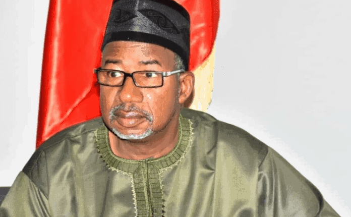
The Governor of Bauchi State is the Executive, while the State Legislature, known as the Bauchi State House of Assembly, is located in Bauchi, the capital city of the state. Thus, the current governor of Bauchi State is Mr Bala AbdulKadir Mohammed, who was sworn in as governor under the banner of the People’s Democratic Party (PDP) on May 29, 2019.
According to research, Mr Bala is the 16th governor of Bauchi State, while the deputy governor is popularly known as Baba Tela.
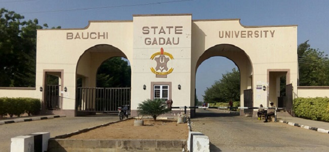
There are two major higher institutions in Bauchi State and they are; Abubakar Tafawa Balewa University, which is located in the capital city of Bauchi; Bauchi State University; Abubakar Tatari Ali Polytechnic; and Federal Polytechnic, Bauchi.
There are some prominent people in society who were born in Bauch State, and they include Sir Abubakar Tafawa Balewa (the first and only Prime Minister in Nigeria), and Jude Rabo (vice-chancellor of Federal University, Wukari), among others.


