West-central Nigeria’s Niger State is bordered to the south by the Niger River. Additionally, it is bordered to the north by the states of Kebbi and Zamfara; to the north and northeast by Kaduna; to the southeast by Kogi; and to the south by Kwara. Niger State’s eastern boundary is with the Federal Capital Territory of Abuja, and its western border is with the Republic of Benin.
The Kaduna River’s floodplains are also part of the terrain, which is primarily composed of woodland savannas. Minna serves as the state’s capital. Bida, Kontagora, and Suleja are additional significant cities. Niger State was created in 1976 following the division of the former North-Western State into Niger State and Sokoto State.
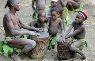
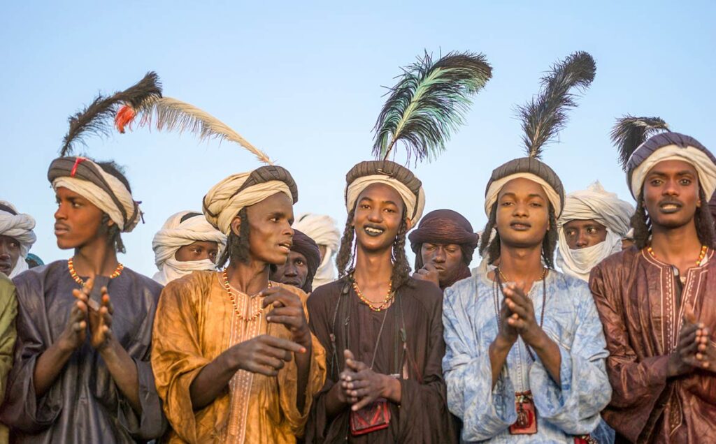
It is worthy of note that two of Nigeria’s former military leaders, Ibrahim Babangida and Abdulsalami Abubakar, reside in Niger State. Meanwhile, the numerous indigenous tribes in Niger State, including the Nupe, Gbagyi, Kamuku, Kambari, Gungawa, Hun-Saare, Hausa, and Koro, make up the majority of the population.
In this piece, Naijabiography explores the history of Niger State, the culture and belief system of the Niger State people, including their political structure and modern lifestyle.
History
The River Niger, Africa’s third-longest river after the Nile and Congo, gave rise to the name Niger State. The state is known officially as the “Power State” since it is home to three of Nigeria’s main hydroelectric power plants, namely Kainji, Jebba, and Shiroro stations. These three work together to generate over 2000 MW of electricity for the nation’s largest cities. Niger State is home to the new Zungeru Dam as well as the Kainji Dam and Shiroro Dam, two of Nigeria’s main hydroelectric power plants.
The area was badly depopulated by slave raids by the Fulani troops of the Kontagora and Nupe emirates in the 19th century, and repopulation has been hampered by the tsetse fly’s presence (which spreads trypanosomiasis, or sleeping sickness). The Abuja, Agaie, Bida, Kontagora, and Lapai emirates, the Gwari (Gbari), Kamuku, and Wushishi chiefdoms, and the Zuru federation were all part of the British-established Niger province, which was known as Nupe province from 1918 to 1926.
Niger Province became the southern region of North-Western State in 1967, then Niger State in 1976. (excluding the newly created Abuja Federal Capital Territory). Between the Niger River and the Republic of Benin, a portion of northwest Kwara state was annexed to Niger state in 1991.
Niger State was created in 1967, which was originally a part of the defunct North Western State. It was one of the twelve states that were formed in 1967 under the administration of General Murtala Muhammed. The regime of the head of state in 1976 brought about the creation of Sokoto and the modern Niger State. The recreation of the state, according to research, indicates the old and new Niger State.
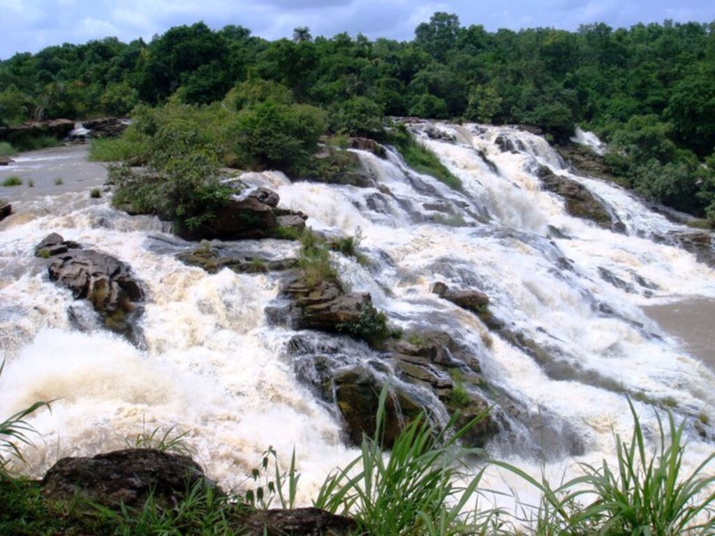
The new Niger State, however, birthed some cities and tourist centres, such as Gurara Falls, and the Gurara Local Government Area is named after the Gurara River, on whose course the fall is situated. Also, Kainji National Park, the largest national park in Nigeria, contains Kainji Lake, the Borgu Game Reserve, and the Zugurma Game Reserve.
People and Territory
As of 2006, the population of Niger State was around 3,950,249 people. The Nupe, Gwari, and Hausa make up the state’s three main ethnic groupings. Other ethnic groups include the Koro, Kadara, Kambari, Kamuku, the Pangu, Bassa, Bauchi, Fulani, Dukawa, Gabo, Godara, Ganagana, Mauchi, Ayadi, Ingwai, Dido, Kadanda, Gulengi, Abi Shiwa, and Shigini.
Other ethnic groups include the Dukawa, Gabo, Godara, Ganagana, Mauchi, Ayadi, Ingwai, Dido, Kadanda, Gulengi, Abi Shiwa, and Shigini. The Gwari, Kadara, and Koro live in Suleja, Chanchaga, and Shiroro, while the Kambari lives in Mariga, Magama, and Rafi local governments. The Nupe live in Gboko, Lavun, Bida, Bia, Agai, and portions of Moriga.
Trade
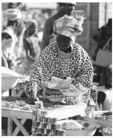
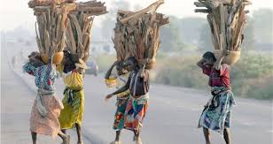
In Niger State, cotton, shea nuts, yams, and peanuts (groundnuts) are all grown for both domestic and international trade. Additionally significant in local trade are sorghum, millet, cowpeas, corn (maize), tobacco, palm oil and kernels, kola nuts, sugarcane, and fish.
In the floodplains of the Niger and Kaduna rivers, particularly in the region near Bida, paddy rice is frequently farmed as a cash crop. Raised for meat are cattle, goats, sheep, chickens, and guinea hens. Around Minna, pigs are grown for export to southern Nigeria.
Some natural and mineral resources can also be found in Niger State. These include gold, talc, ball clay, feldspar, lead, Kaolin, Casserole, Silica, Sand, Marble, Copper, Iron, Columbite, Mica, Quartzite, and Limestone.
The majority of local craftspeople dig gold, tin, iron, and quartz (which is utilized by the glassmakers in Bida). Important exports include raffia products, pottery, metal work, glass manufacturing, brass fabrication, and locally dyed textiles. The state capital of Minna features a brick plant, while marble is quarried nearby in Kwakuti.
All three of the Niger Dams Project’s dams—including the one at Jebba (in Kwara state), whose reservoir is partially located in Niger State, and the one at Shiroro Gorge on the Kaduna River—have a portion owned by Niger State.
The state is also home to the Kainji Dam from 1969 and Kainji Lake, one of its reservoirs. These dams support irrigation projects in addition to producing hydroelectric power, and fishing has grown to be an industry in their reservoirs. Niger state has the majority of Kainji Lake National Park (formerly Borgu Game Reserve).
The Administrative and Political Structure of Niger State
The state is organized into three geopolitical zones, Zones A, B, and C, which each have 8, 9, and 8 Local Government Areas (LGAs). There are 25 local government areas total in the state. There are 274 wards in each of the 25 LGAs. The State, Local, and Emirate Councils are the three levels of government that oversee the State.
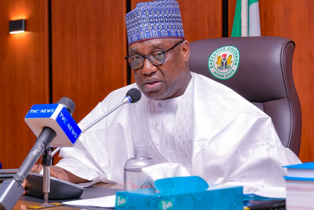
At the state level, there are three tiers of authority. The government, which is presided over by the Executive Governor of the State and is elected on a party basis, comes first.
The State House of Assembly, which is headed by a Speaker of the House, Deputy Speaker, Majority and Minority leaders, and Party Leaders known as the principal officers and representative members from each local government constituency, makes up the legislature, which is the second branch of government. Members of the legislature are also elected on a party basis.
The third branch of government is the judiciary, which is run independently and is presided over by the State’s Chief Judge. However, the current Governor of Niger State is Abubakar Sani Bello.
Religion and Language
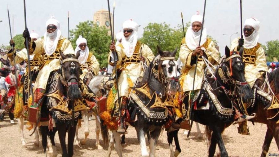
Islam and Christianity are the two predominant religions in Niger State. For regions with a predominately Muslim population, Sharia is applicable. The state is home to the Roman Catholic Diocese of Minna and the Roman Catholic Diocese of Kontagora. The state contains a presence of Darul Islam (Nigeria). However, research has it that about 98 per cent of Niger people practice Islam, and the rest of the percentage practice Christianity and traditional religion.
In Niger State, some languages are predominant and are spoken in virtually all parts of the state. These languages include Nupe, Dibo, Kakanda, Hausa, BassaNge, Gbari, Busa, Bisã, Boko, Cishingini, Laru, and Reshe, among others.
Modern-Day Niger State
The modern-day Niger State is a centre of attraction for many Nigerians as a result of its tourist centres and business attractions. Also, Niger State has higher learning institutions. Some of the institutions include Federal Polytechnic, Bida, Federal University of Technology, Minna; Ibrahim Badamasi Babangida University, Lapai; and Niger State Polytechnic, Zungeru.


